The Formation team of scientists and engineers apply scientific expertise across the soil – water – plant – climate – human – ecological continuum to model and analyze conditions and dependencies that inform regulatory, compliance and programmatic decision-making for clients.
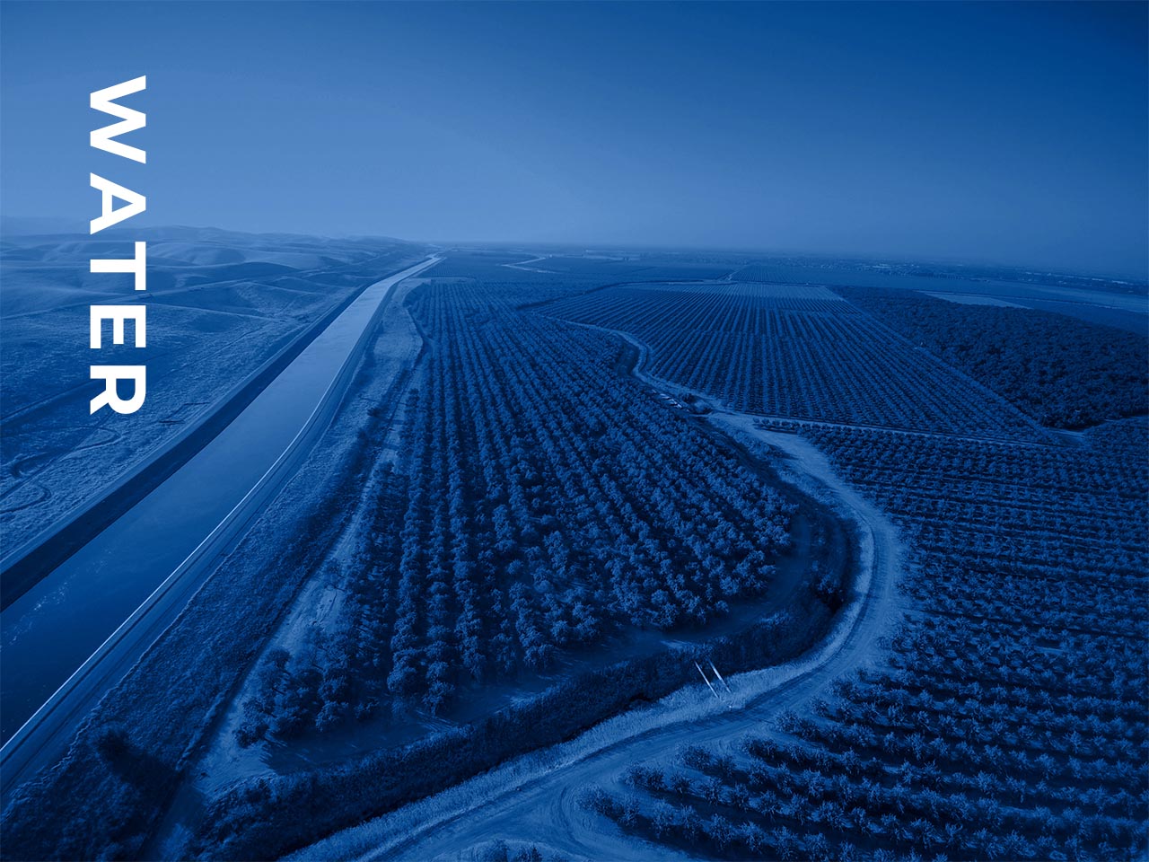
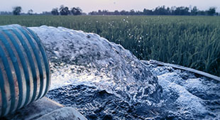
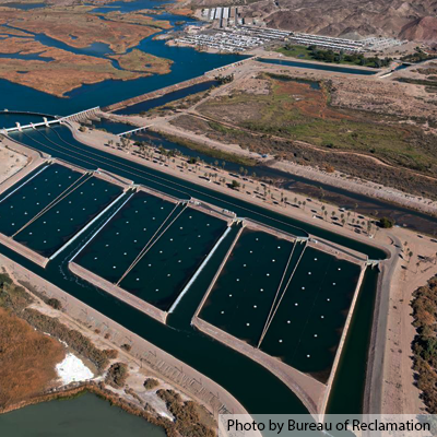
Our scientists and engineers help our clients address water issues from field- to landscape-scale.
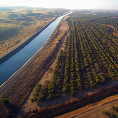
This includes modeling surface and groundwater flow, contaminant source characteristics, solute transport, evapotranspiration and addressing impacts for mitigation of overdraft, water quality issues and large-scale water transfers. Formation’s expertise also includes assessing groundwater-surface water interactions, modeling root zone water quality, characterizing groundwater dependent vegetation and implementing workflows to calculate water demand to inform management plans.
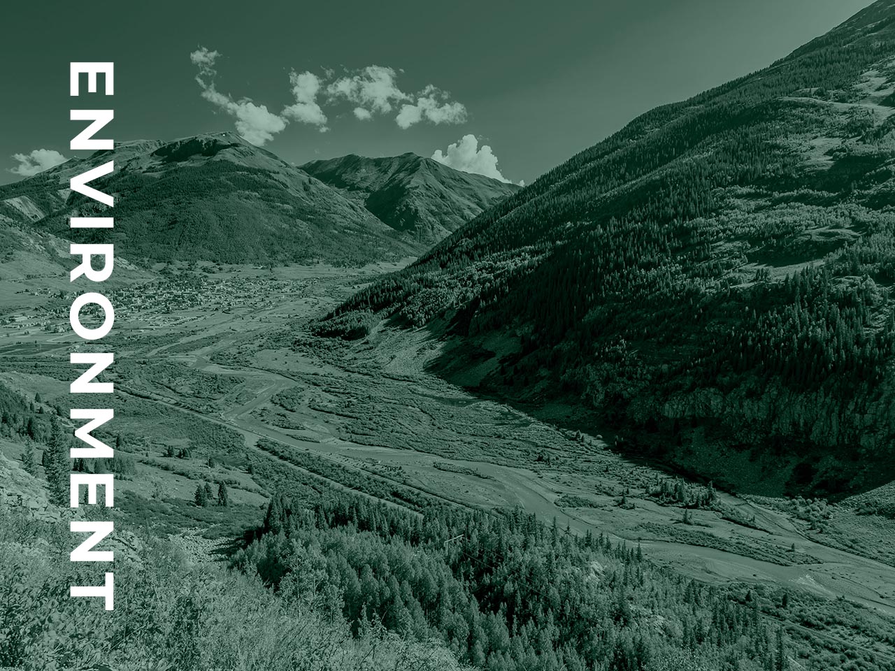
Formation provides clients with technical and strategic support in environmental remediation and risk management.
Our approach involves close communication with client and regulatory stakeholders to understand and comprehensively manage both short-term and long-term environmental liabilities. Our expertise and understanding of the regulatory framework, bioaccumulative contaminants of concern, land use and other setting-related issues help clients develop a successful remediation approach, settlement, or defense.
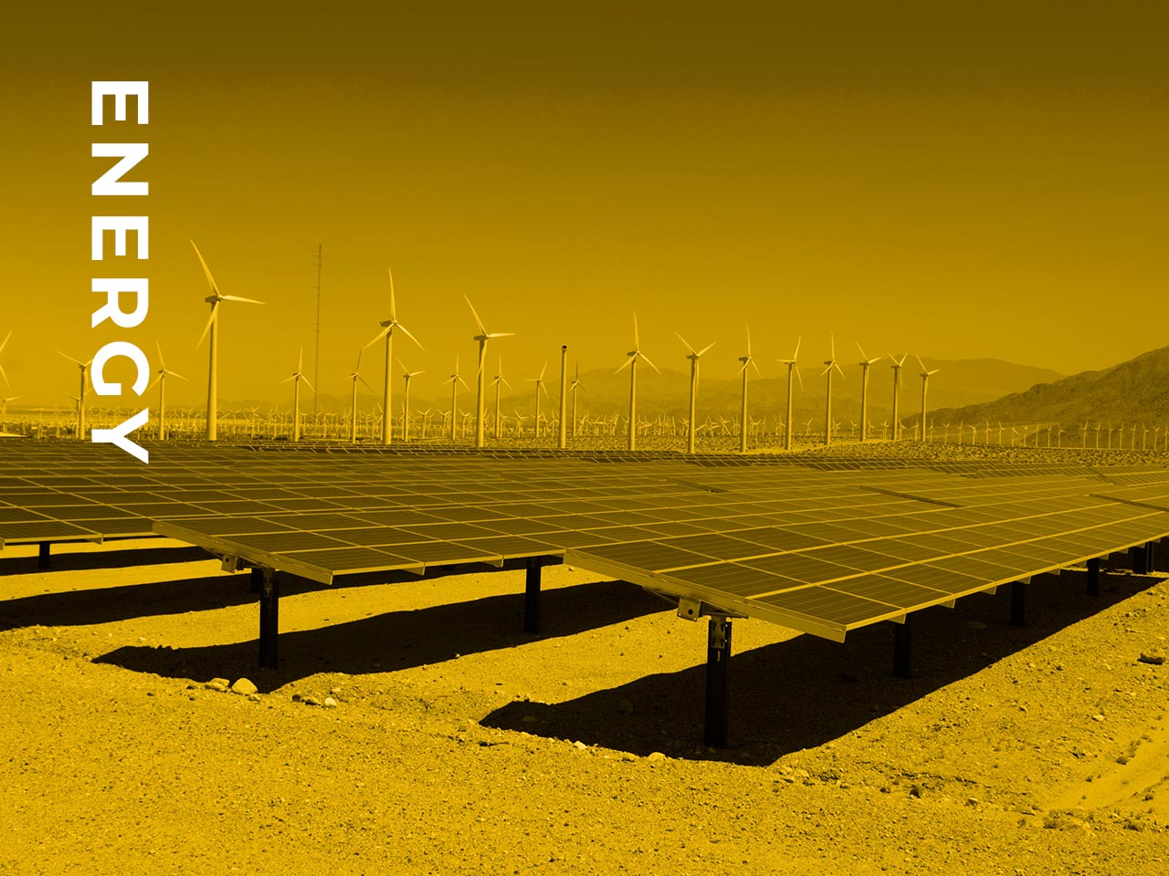
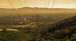
We support clients in strategic planning and management activities within utility corridors and energy sites.
This includes analysis of multi-temporal data to isolate important trends that may inform management priorities. Our experts also work as embedded program managers to assist with vendor and contract management, program and data audits, quality assurance reviews, and to conduct vegetation-related outage forensics to provide insights for programmatic and regulatory reporting.
We provide innovative solutions for clients facing the ever-changing air quality requirements for criteria pollutants and greenhouse gases emissions.
Our air quality professionals have extensive experience with Title V, PSD, NSR, GHG, and source permitting throughout the United States. Formation is experienced in meteorological and dispersion modeling using AERMOD, the Weather Research and Forecasting (WRF) Model, WRF-Chem, and SWEEP. Completing all aspects of air quality research and compliance, Formation is well versed in the planning, deployment, and operation of ambient air monitoring networks.
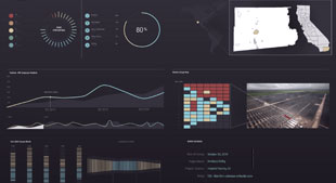
Our technology team provides end-to-end solutions ranging from data aggregation to geospatial and predictive analytics to custom visualization and reporting.
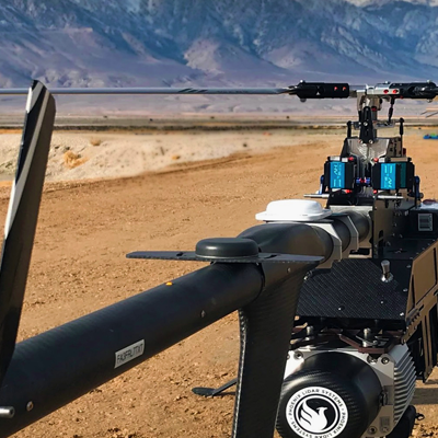
Formation owns and operates a variety of state-of-the-art sensors integrated with airborne or unmanned aerial systems (UAS). We also collect field-based data such as soil characterization, water assessment, plant phenology and meteorology variables. Datasets from these disparate sources are integrated into our custom analytics and modeling tools.
The Formation team of scientists and engineers apply scientific expertise across the soil – water – plant – climate continuum to model and analyze conditions & dependencies that inform regulatory, compliance and programmatic decision-making for clients.

Our scientists and engineers help our clients address water issues from field to landscape scale.
This includes modeling surface and groundwater flow, solute transport, evapotranspiration and addressing impacts for mitigation of overdraft, water quality issues and large-scale water transfers. Formation’s expertise also includes assessing groundwater-surface water interactions, modeling root zone water quality, characterizing groundwater dependent vegetation and implementing workflows to calculate water demand to inform management plans.

Formation supports clients with technical and strategic support in environmental remediation and risk management.
Our approach involves close communication with stakeholders to understand and comprehensively manage both short-term and long-term environmental liabilities. Our expertise and understanding of the regulatory framework, bioaccumulative contaminants of concern, land use and other setting-related issues help clients develop a successful remediation approach, settlement, or defense.

We support clients in strategic planning and management activities within utility corridors and energy sites.
This includes analysis of multi-temporal data to isolate important trends that may inform management priorities. Our experts also work as embedded program managers to assist with vendor and contract management, program and data audits, quality assurance reviews, and to conduct vegetation-related outage forensics to provide insights for programmatic and regulatory reporting.

We provide innovative solutions for clients facing ever-changing air quality requirements for criteria pollutants and greenhouse gases emissions.
Our air quality professionals have extensive experience with Title V, PSD, NSR, and minor source permitting throughout the United States. Formation has completed Scope 1, 2, and 3 GHG inventories and GHG reduction plans. Additionally, Formation is experienced in meteorological and dispersion modeling using AERMOD, the Weather Research and Forecasting (WRF) Model, WRF-Chem, and SWEEP. Completing all aspects of air quality research and compliance, Formation is well versed in the planning, deployment, and operation of ambient air monitoring networks, and measurement of emissivity of soils using a PI-SWERL. Using these many tools, Formation excels at SIP development, SIP modification, maintenance plans, and EER demonstrations.

Our technology team provides end-to-end solutions from data aggregation to geospatial and predictive analytics to custom visualization and reporting.
Formation owns and operates a variety of state-of-the-art sensors integrated with airborne or unmanned aerial systems (UAS). We also collect field –based data such as soil characterization, water assessment, plant phenology and meteorology variables. Datasets from these disparate sources is integrated into our custom analytics and modeling tools.

Agriculture
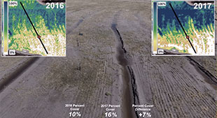
Variable field water consumption analysis and crop vigor monitoring.

Remediation
Remedial investigation and feasibility studies, risk assessment, remedial design for sites under state or federal enforcement actions to characterize and mitigate environmental impacts.

Utility Vegetation Management Program Support
Geospatial and business insights to identify cost avoidance opportunities, budget predictive modeling, workforce modeling, program cost sharing, program performance and KPI development and tracking.

Air Quality Regulatory Compliance
Support permit compliance focused on necessary conditions applicable to regulation.

Airborne Remote Sensing
In-house capability and experience to collect, process, and analyze high density LiDAR and high resolution multispectral imagery to the highest production standards.

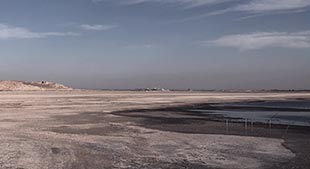
Water Transfer and Terminal Lakes Air Quality
Science-based, adaptive approach to address air quality mitigation requirements associated with the transfer of conserved water and associated dry-playa dynamics.

Ecotoxicology Studies
Evaluate and manage terrestrial and aquatic ecological risks at industrial and agricultural sites.

Weather Impacts
Tree risk and wind modeling algorithms, wildfire pathway modeling, and LiDAR inspection reports to inform wildfire related risk and mitigation.

Planning
Innovative emission reduction programs based on state-of-the-art data analysis tools.

Project Site Monitoring
Installation of 360 degree cameras for continuous site monitoring, and installation of air quality, meteorological, soil moisture, evapotranspiration and other measuring instruments for site characterization and input to models.

Groundwater
Investigation, modeling and planning to develop water supplies, evaluate impacts and develop sustainable management strategies.
Natural Resource Damage and Allocation
Technical and strategic support for natural resource damage assessment and restoration. Scientifically sound and defensible allocation analysis to attribute contribution to damages and distribution of restorative actions and funding.
Geospatial Analytics
Automated models, reports and visualization tools to convey information from land use change detection, advanced remote sensing analytics, and scientific data.

Modeling and Measurements
The application of modeling and measurements to determine cost-effective solutions.

Soil Surveys
Soil sampling using remote and direct techniques to understand soil conditions, develop maps, support modeling, and plan project activities.
Agriculture
Variable field water consumption analysis and crop vigor monitoring.
Water Transfer and Terminal Lakes Air Quality
Science-based, adaptive approach to address air quality mitigation requirements associated with the transfer of conserved water and associated dry-playa dynamics.
Groundwater
Investigation, modeling and planning to develop water supplies, evaluate impacts and develop sustainable management strategies.
Remediation
Remedial investigation and feasibility studies, risk assessment, remedial design for sites under state or federal enforcement actions to characterize and mitigate environmental impacts.
Ecotoxicology Studies
Evaluate and manage terrestrial and aquatic ecological risks at industrial and agricultural sites.
Natural Resource Damages
Technical and strategic support for NRD assessment and restoration. Scientifically sound and defensible analyses to estimate injuries, assess contribution, and develop restorative actions.
Expert Support and Allocation
Experts provide support in mediation, arbitration, and trial across practice areas. Direct expertise in developing methodologies for the division and allocation of response costs at Superfund sites.
Utility Vegetation Management Program Support
Geospatial and business insights to identify cost avoidance opportunities, budget predictive modeling, workforce modeling, program cost sharing, program performance and KPI development and tracking.
Weather Impacts
Tree risk and wind modeling algorithms, wildfire pathway modeling, and LiDAR inspection reports to inform wildfire related risk and mitigation.
Geospatial Analytics
Automated models, reports and visualization tools to convey information from land use change detection, advanced remote sensing analytics, and scientific data.
Air Quality Regulatory Compliance
Support permit compliance focused on necessary conditions applicable to regulation.
Planning
Innovative emission reduction programs based on state-of-the-art data analysis tools.
Modeling and Measurements
The application of modeling and measurements to determine cost-effective solutions.
Airborne Remote Sensing
In-house capability and experience to collect, process, and analyze high density LiDAR and high resolution multispectral imagery to the highest production standards.
Project Site Monitoring
Installation of camera stations for continuous site monitoring, and air quality, meteorological, soil moisture, evapotranspiration and other measuring instruments for site characterization and input to models.
Soil Surveys
Soil sampling using remote and direct techniques to understand soil conditions, develop maps, support modeling, and plan project activities.